|
The former
earth-lodge settlement of the Hidatsa, Mandan, and Arikara
Indians, known both as Like-A-Fishhook Village and as Fort
Berthold Indian Village, was one of the important historic
sites of the upper Missouri Valley. For more than 40 years
this community was the chief remaining example of a distinctive
native culture. (Smith, 1972)
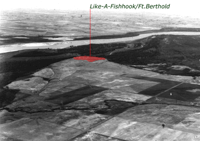
Figure 1:
Aerial shot of a larger area showing the surrounding of LFFB.
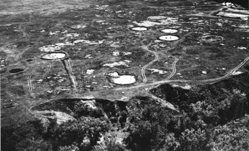
Figure 2:
Aerial image taken from the west side of the site looking east.
Fort Berthold II is located in the upper right hand corner of the image.
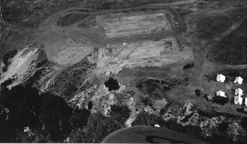
Figure 3:
Aerial shot taken from the south side of the site showing the excavation
camp located near Fort Berthold II.
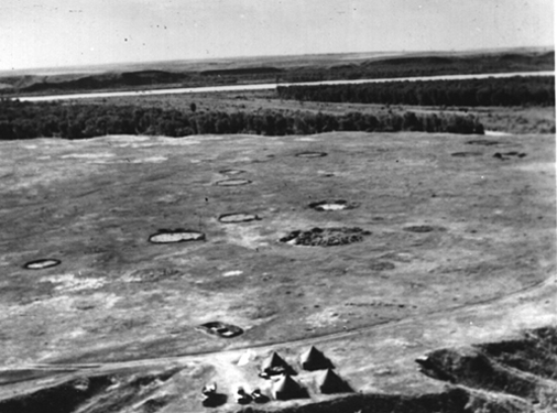
Figure 4:
Aerial photograph showing excavation camp located near Fort Berthold I.
All of the images above were taken during the 1950's excavation.
|